
Who it’s forEnvironmental and site surveys
Field survey reports for environmental teams
PropelMapper keeps spoken site observations, field readings and follow-up survey work linked to the station where you recorded them.

What the project file gets from a station visit
“Walked survey cell A on 50 m transects: soybean stubble, no wetland signature, field tile outlet on the east edge.”
Example account: Ridgeline Environmental
Visual example; transcript only.
- Place Survey cell A (north)
- Depth to saturation (in) 28
- Soil matrix chroma 2
- Plant species recorded 22
Ridgeline Environmental
Pre-construction site survey - Survey cell A (north)
Ridgeview Solar Project › Ridgeview Solar array parcel › Survey cell A (north)
At a glance
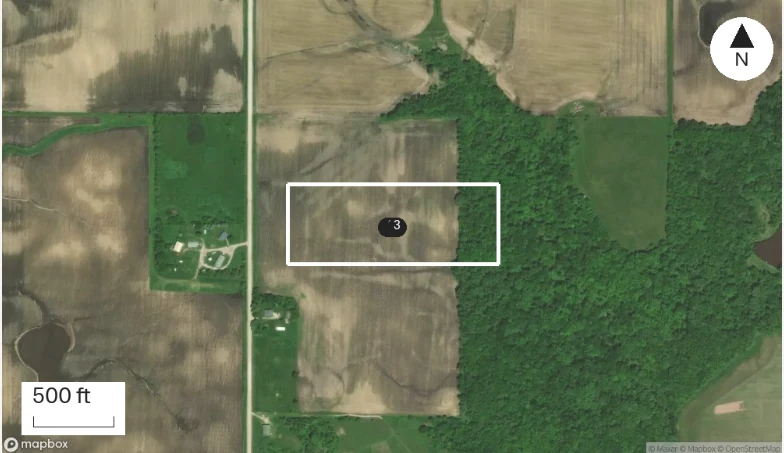
Walked survey cell A on 50 m transects: soybean stubble, no wetland signature, field tile outlet on the east edge.
Survey cell B: a shallow swale runs southwest, saturated at 14 inches, flag for the drainage plan.
No bird nests found in the fence row; one red-tailed hawk hunting over cell A.
Readings
| Reading | This visit |
|---|---|
| Depth to saturation (in) | 28 |
| Soil matrix chroma | 2 |
| Plant species recorded | 22 |
Pre-construction site survey - Survey cell A (north), Sep 16, 2026: “Walked survey cell A on 50 m transects: soybean stubble, no wetland signature, field tile outlet on the east edge.” The visit form gets Place Survey cell A (north), Depth to saturation (in) 28, Soil matrix chroma 2, Plant species recorded 22, and the report lists them under Pre-construction site survey - Survey cell A (north).
Survey sites and station coverage
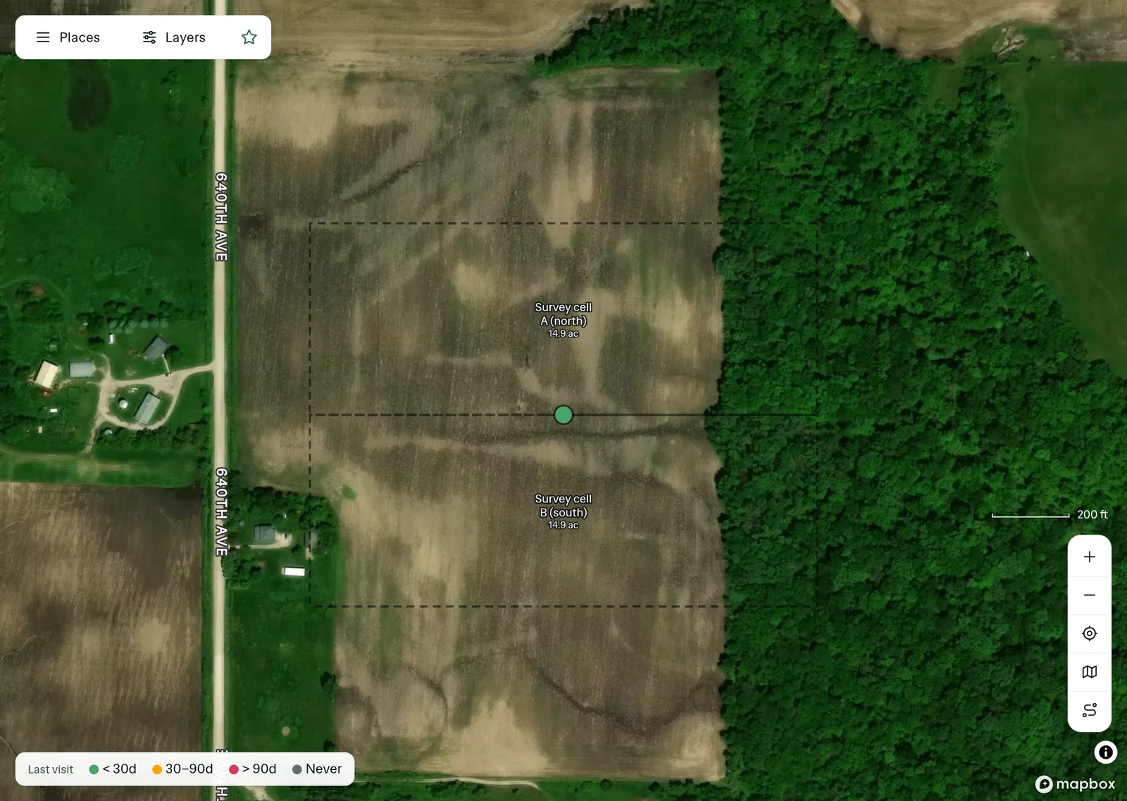
Each reading is tied to the survey station where it was taken. A project lead can see which stations have a visit on file and which still need one before the report goes to the client.
Projects, sites and survey stations
Walk a transect with no signal and each reading keeps its GPS point. You can walk the station boundary on the same visit.
| Level | Name in this account |
|---|---|
| Project | Ridgeview Solar Project |
| Site | Ridgeview Solar array parcel |
| Station | Survey cell A (north) |

The field survey report the project receives

Review field survey coverage by site
See the survey stations receiving visits and the weeks your field team recorded observations before scheduling a return.
Explore Insights
Example account: Ridgeline Environmental
What PropelMapper does not do for environmental site surveys
PropelMapper does not make wetland determinations or issue environmental permits.
It is not a laboratory information or chain-of-custody system.
Its map is not a survey-grade boundary or engineering design.
Questions about environmental site surveys
Can I return to the same named sampling station?
Save a station under its site and select it for each visit. Its readings and reports stay together over time; use your survey equipment for positions that require survey-grade accuracy.
Can the report keep observations separate from next steps?
Yes. Report templates have named sections. Review the findings, actions and follow-up work before signing the draft for the project contact.