

ProductSoil maps
Soil survey maps for your US fields
PropelMapper shows USDA soil map units inside your saved field boundary, giving you survey background to take into a visit or sampling discussion.

Using a soil survey to prepare for sampling
You are planning samples in a field with a wet corner. In the browser, you look at the USDA soil map units inside the saved boundary and read the drainage descriptions. You have a question to take to the field before you pull the first core.
On the walk, you describe the standing water, photograph the patch and record where you sampled. The soil survey shows you where to look. What you see and sample on the visit is the finding, and the report keeps the two apart.
The map lists unit names and field shares. Where ratings are available, you can see the rated share alongside the average: CSR2 for Iowa surveys and NCCPI where returned. Our soil integration covers US fields.
Soil sample at the wet corner: what you said and what the report says
“Creek Bottom. Wet corner of the field. Standing water beside the sample point. I took a photo and logged the sample location. The soil survey was background for this visit; the sample results are still pending.”
Soil sample at the wet corner - Creek Bottom
At a glance
Standing water was observed beside the sample point. A photo and sample location were saved. Soil results are pending.
USDA NRCS SSURGO was consulted as survey background before the visit. It does not provide the results of this sample.
Observations
Standing water was observed beside the sample point. A photo and sample location were saved. Soil results are pending.
USDA NRCS SSURGO was consulted as survey background before the visit. It does not provide the results of this sample.
After your review
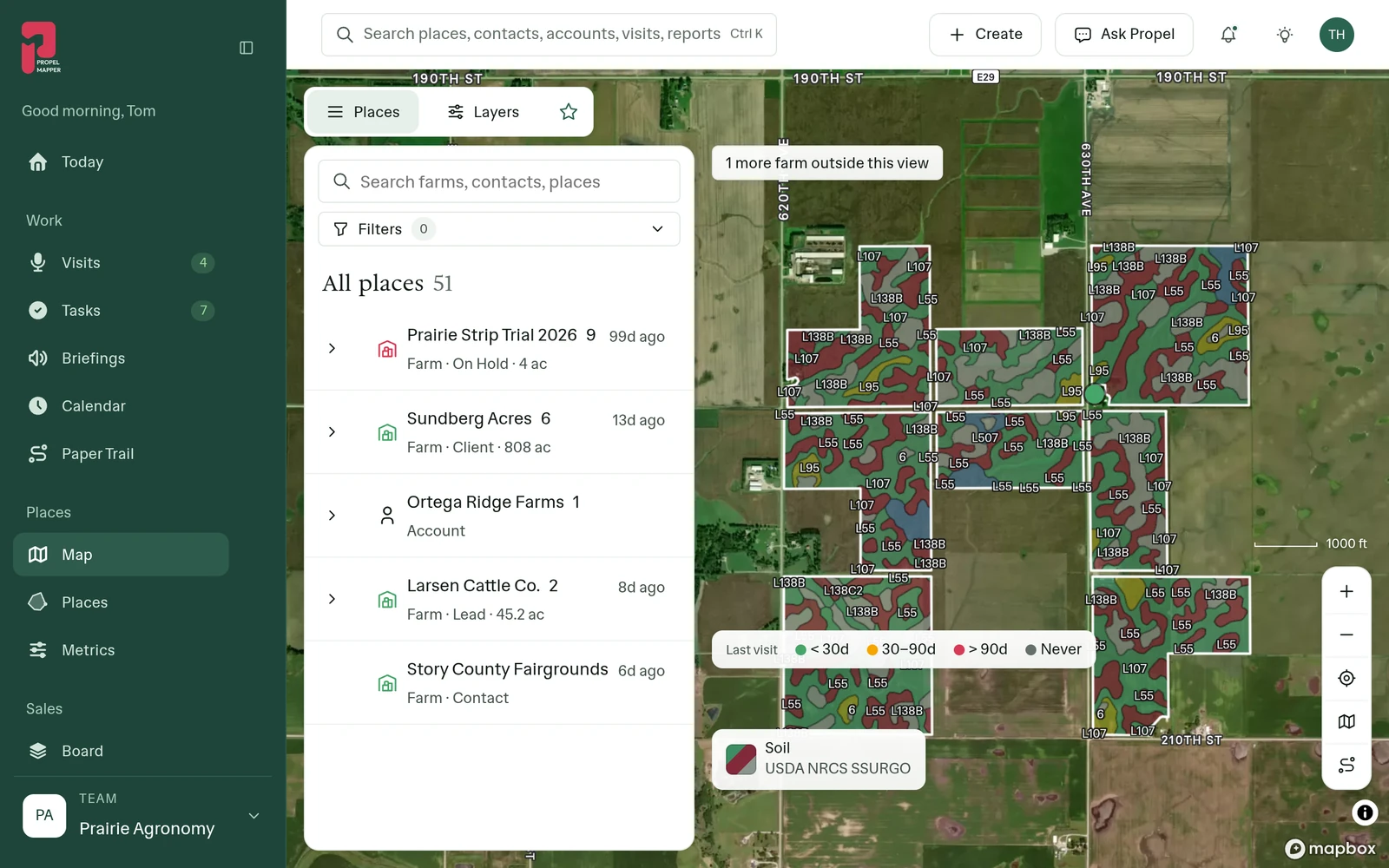
Example account: Prairie Agronomy
What the mapped soils can tell you
A soil survey is useful preparation for a field visit because it gives you a way to describe the soils mapped within the boundary. Begin with the map-unit names, their field shares and the drainage and slope information returned. Those descriptions can help you frame questions for the grower and decide what you want to inspect.
PropelMapper shows the area and share of the saved field for returned map units. If the outline contains extra ground or leaves out part of the field, those shares describe that saved area. Check the field boundary before using a map summary in a purchase discussion, owner report or sampling explanation.
Keeping the survey separate from sample results
On the visit, record the collection location and the details needed to identify the sample later. Include the sample or bag identifier in your notes when your team uses one. A survey description, an observed wet patch and a laboratory result answer different questions. The report should let the grower follow each back to its source.
Check the sample identifiers, depths and units against your records. If results are still pending, say what was collected and what you plan to discuss once they arrive. Add your interpretation when you have the information needed to support it.
For a report that includes survey context, identify USDA NRCS SSURGO separately from the laboratory and visit records. Explain which mapped unit you discussed and what you actually inspected. Our integration covers US fields. The free Iowa CSR2 rent calculator works from a rate you supply.
In the app


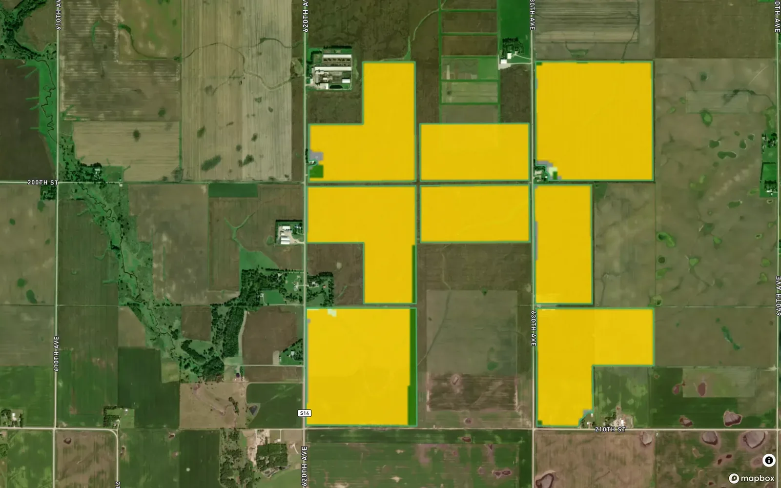
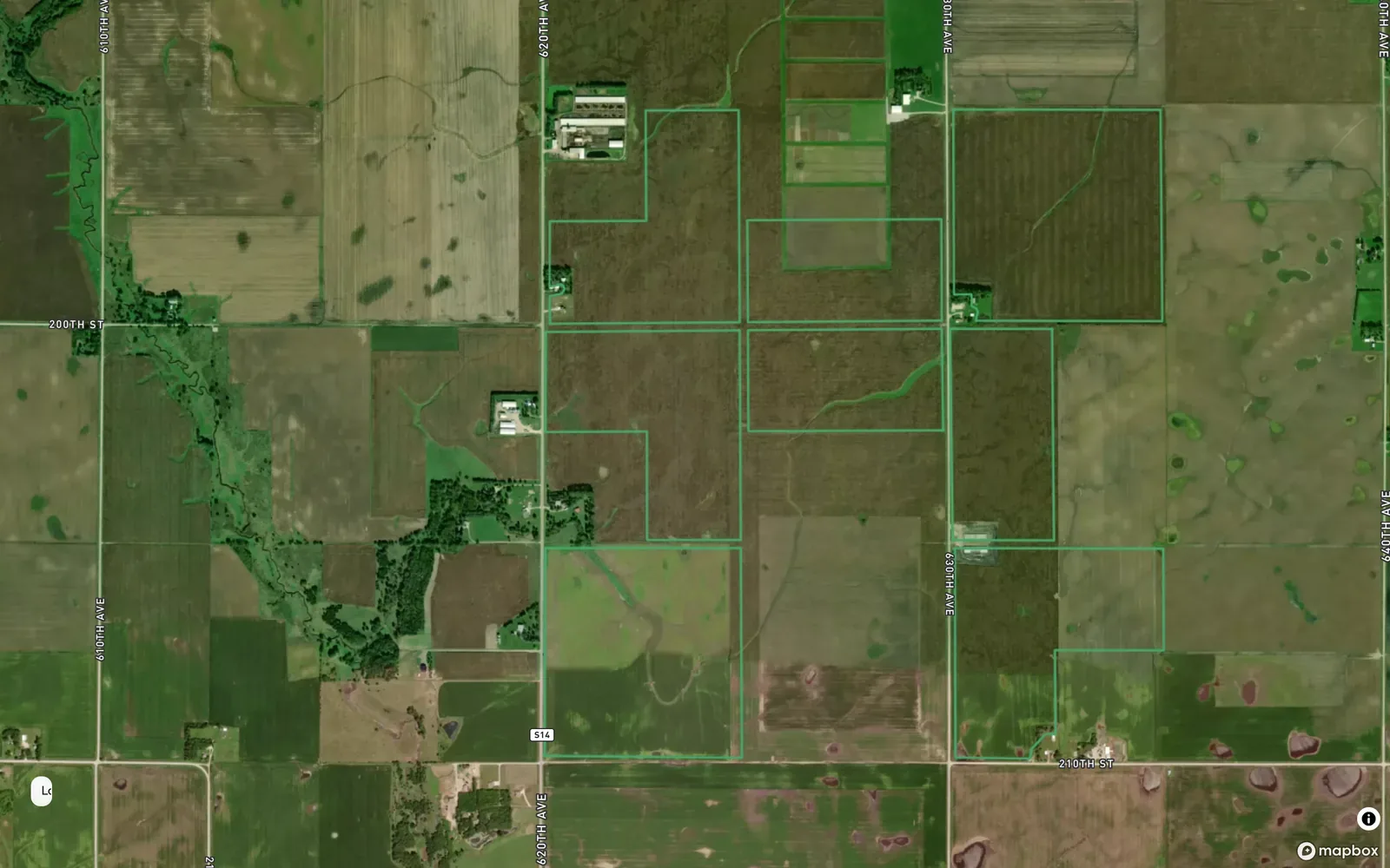
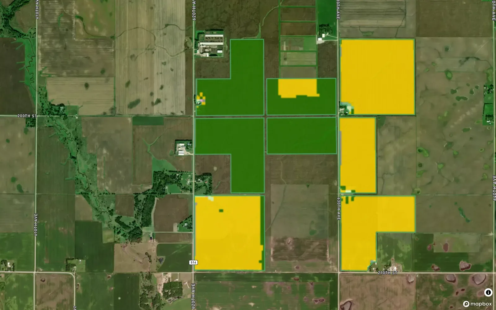
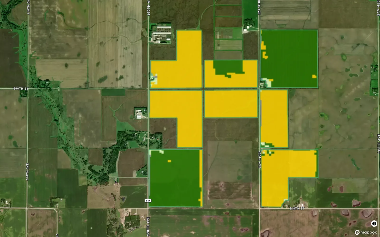
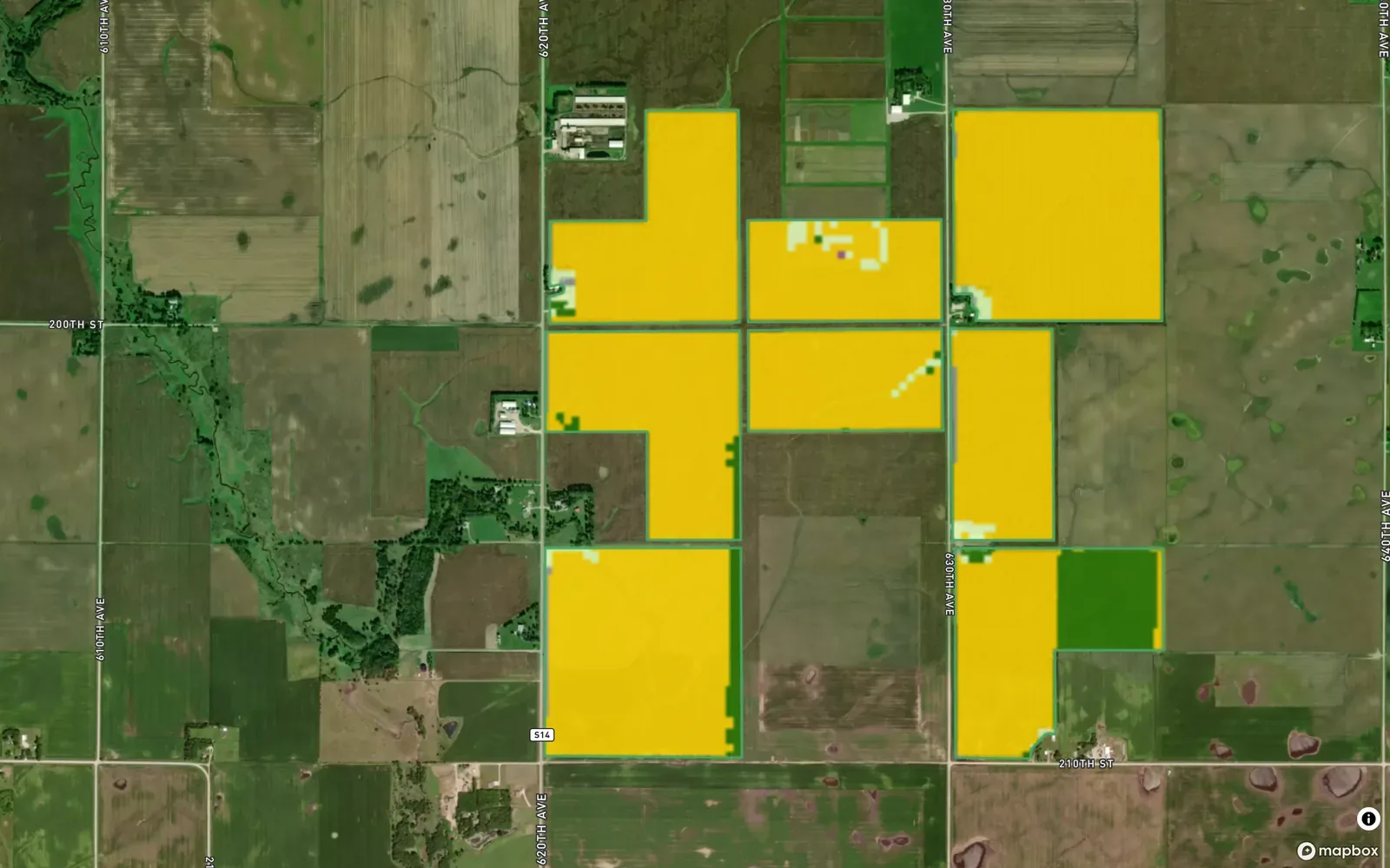
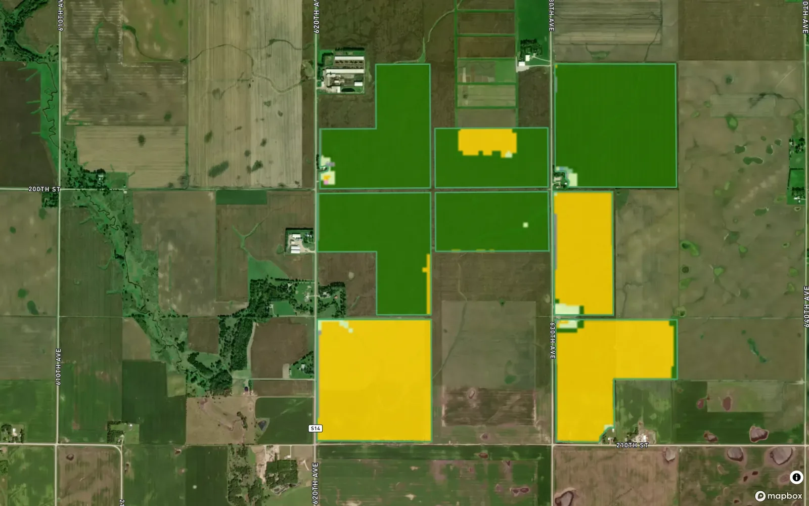
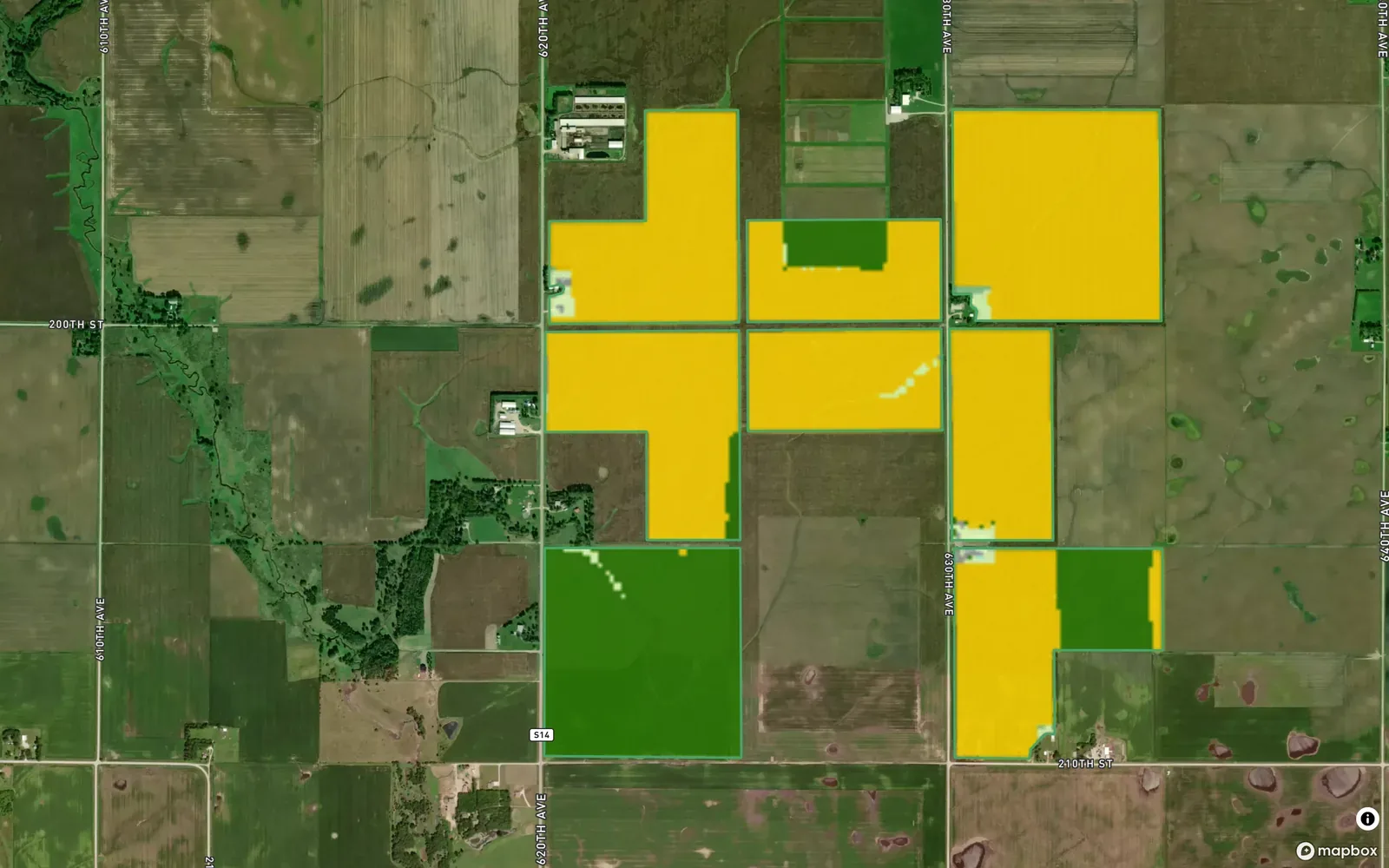


Example account: Prairie Agronomy
Formats, sources and availability
- Source
- USDA NRCS SSURGO, through Soil Data Access
- Per field
- Every map unit’s area and share of the field
- Per unit
- Name, symbol, drainage class, hydrologic group, slope range, farmland class
- Ratings
- CSR2 for Iowa surveys; NCCPI 3.0
- Coverage
- United States only
Questions about soil maps
Where do the soil units come from?
USDA NRCS SSURGO, retrieved through Soil Data Access. This integration covers US fields, with CSR2 on Iowa surveys. The NRCS database description explains the survey.
Who it’s for
Agronomists, land managers and farm buyers can consult a US soil survey before deciding where to inspect or sample. Your visit notes explain today’s conditions alongside that survey background.