

ProductNDVI
Satellite maps for planning your field walk
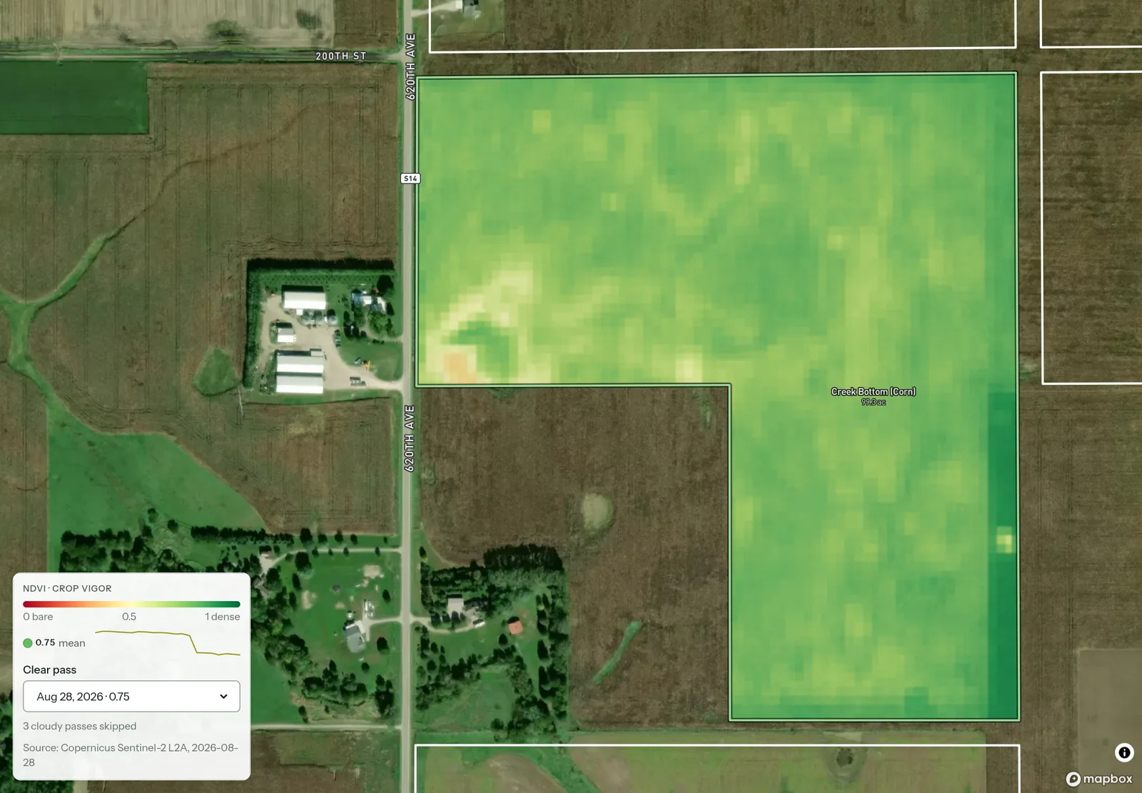
PropelMapper shows dated Sentinel-2 NDVI images that reveal differences in vegetation across a field.

Using NDVI to plan a field check
Before leaving for a scouting round, you see a patch that differs from the rest of the field on the NDVI image. You read the image date and choose a stop there. NDVI shows you where to look. What you see and record at the patch is the finding, and the report keeps the two apart.
At the patch, you photograph the plants and describe the wet ground in a voice note. Your note has today’s date and location. You keep that visit separate from the earlier satellite pass when you explain what you found to the grower.
You read the draft, name the image you used if it belongs in the report and add your recommendation. The ground check supplies the finding.
Available images depend on cloud, shadow and snow. We show dated clear passes and the skipped count; an accepted pass can still have affected areas. Saved imagery can come with you offline, while retrieving a new image needs a connection.
Ground check at the selected patch: what you said and what the report says
“Creek Bottom. At the patch I picked from the satellite image before leaving. The ground is wet and the plants are yellow here today. I took a photo. The image and this visit have different dates.”
Ground check at the selected patch - Creek Bottom
At a glance
A patch selected from a dated satellite image was inspected during the visit. Wet ground and yellow plants were observed and photographed.
The satellite image helped choose the stop. The observations above describe conditions on the visit date.
Observations
A patch selected from a dated satellite image was inspected during the visit. Wet ground and yellow plants were observed and photographed.
The satellite image helped choose the stop. The observations above describe conditions on the visit date.
After your review
Example account: Prairie Agronomy
Reading the image before planning the walk
Look at the pattern within the field before focusing on an average. A field mean can hide a patch that matters to the grower. If the saved boundary contains ground outside the crop being discussed, that can also affect the values you see. Check the outline and decide which parts of the image need a closer look on the ground.
PropelMapper uses Sentinel-2 imagery to show NDVI from the red and near infrared bands. The displayed field values and dated passes help you compare the same place over time. A difference in the image gives you a question to investigate.
Clouds, shadows and snow affect what is available. We show accepted clear passes and the skipped count, but an accepted image can still contain affected areas. Inspect the image itself, especially around the patch that caught your attention. A missing or unsuitable pass is a reason to rely on another source or the field visit.
Explaining the ground check in the report
At the chosen stop, record the location, photograph the plants and describe the conditions you find. Include enough of the surrounding field to explain the extent of the observation. If you inspect a comparison area, identify it separately. Those records show the client what you found on the ground at the patch you selected from the image.
You decide whether the satellite image helps explain the visit. If you include it, name its date and source and say what prompted the ground check. Then describe what you found on the visit and the professional interpretation you added during review.
In the app

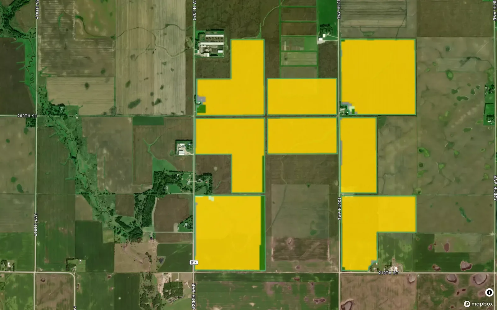
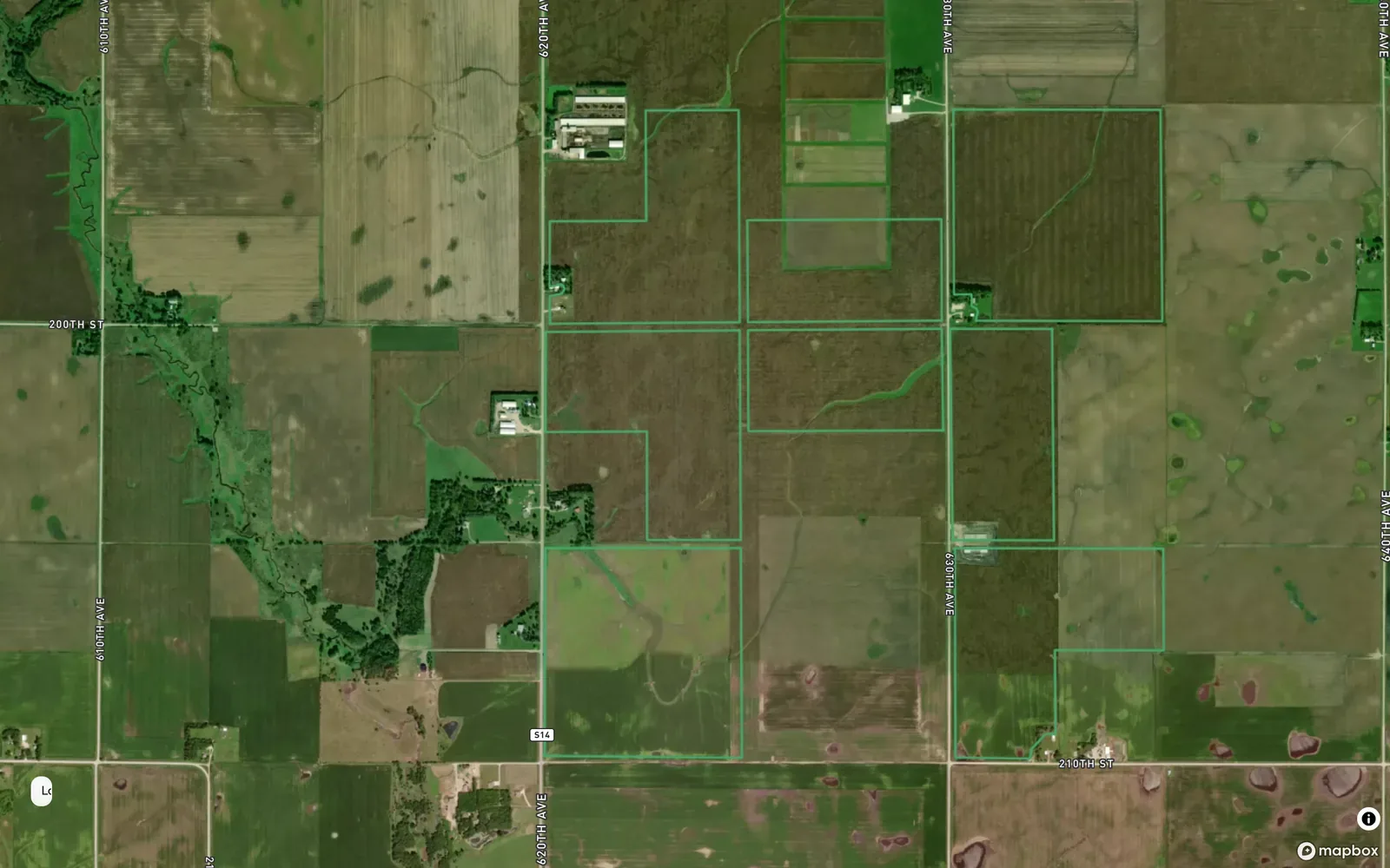
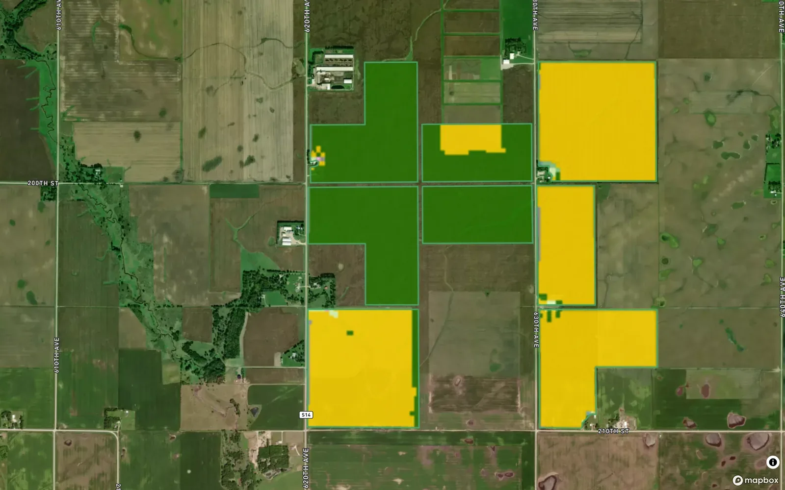
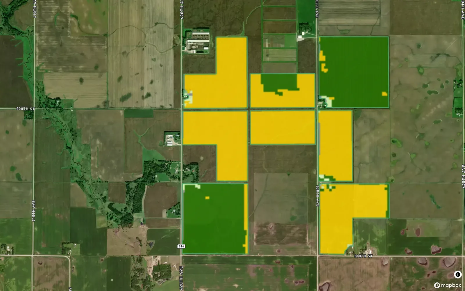
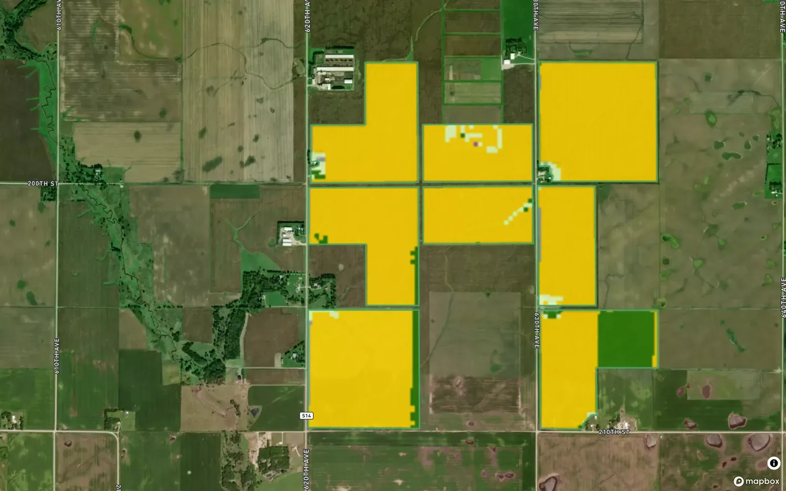
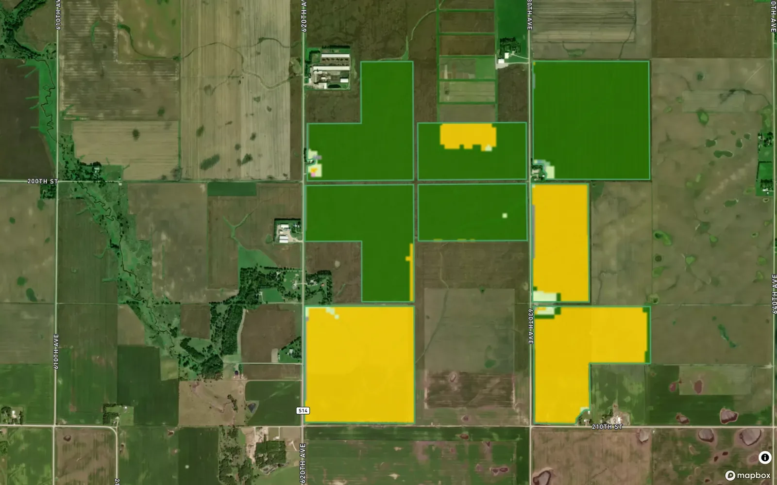
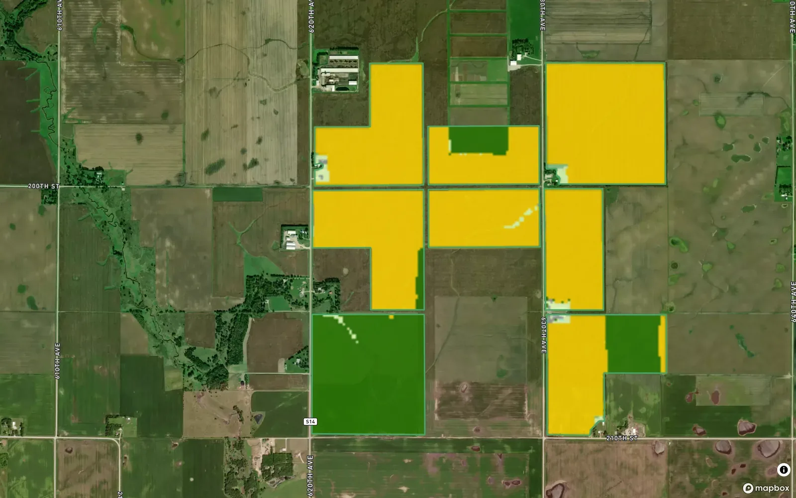


Example account: Prairie Agronomy


Aug 26 · 0.90
© Mapbox · © OpenStreetMap · Copernicus Sentinel-2
Formats, sources and availability
- Source
- Copernicus Sentinel-2 Level-2A, through Microsoft Planetary Computer
- Index
- NDVI from the red and near infrared bands, 10 m
- Clear pass
- Cloud, shadow and snow on no more than 5% of the field
- Window
- Clear passes from the last 200 days
- Per pass
- Field mean, minimum and maximum; change against the pass a month earlier
Questions about satellite imagery
Where is NDVI available?
It depends on suitable Sentinel-2 imagery for the saved field boundary. It is not restricted to US fields. Retrieving a new pass needs a connection; previously saved imagery can be viewed offline.
Who it’s for
Agronomists and crop scouts can use differences in a satellite image to choose stops for a field walk. You supply the ground observations and the explanation for the grower.