

ProductCrop history
US crop history maps for your fields
PropelMapper maps a field’s crop history so you can compare it with the grower’s planting records.

Checking crop rotation before a visit
You are preparing for a visit to a field you have not advised before. The crop-history strip shows the leading classified crop for each available year. One year has more than one substantial class, so you make a note to ask the grower about it.
At the visit, the grower offers to send the planting records. You record that conversation with the field name. Crop history shows you where to look. What the grower’s records and your walk show is the finding, and the report keeps the two apart. You can also check whether the saved outline includes the ground you mean to discuss.
You keep the classification’s year and USDA source beside it, and describe the grower’s explanation separately. You decide what the rotation means for your advice.
Our crop-history view covers US fields, with the top classes and their shares inside the saved boundary. A missing year means no data was returned. It leaves a question for the farm’s records to answer.
Planting history to confirm: what you said and what the report says
“Vos Brothers. First visit to this field. I asked about the year with mixed crop classes in the USDA map. The grower will send the planting records so we can confirm the rotation before discussing it further.”
Planting history to confirm - Vos Brothers
At a glance
The crop history was discussed after reviewing USDA NASS Cropland Data Layer classifications. One mapped year showed mixed classes.
The grower will provide planting records to confirm the rotation. No planting history was confirmed from the map alone.
Observations
The crop history was discussed after reviewing USDA NASS Cropland Data Layer classifications. One mapped year showed mixed classes.
The grower will provide planting records to confirm the rotation. No planting history was confirmed from the map alone.
After your review
Example account: Prairie Agronomy
Reading a crop history without overstating it
Keep the year attached to every class you discuss. A leading class describes the largest returned share for that year; it does not establish that every acre carried the same crop. Look at the other substantial classes and check whether the saved field outline matches the ground the grower means.
A mixed year is a question for the visit. You can ask whether the field was divided, whether the boundary changed or whether the grower has records that explain the difference. Record their explanation with the date of the conversation.
Putting the grower’s records beside the map
When the grower supplies planting records, identify them as a separate source. The records may describe crops, dates or field divisions in a way the satellite classification does not. A useful report explains which information came from the map and which came from the operator, especially when the two do not appear to agree.
During the field walk, document the crop and conditions you observe today. Those observations belong to the current visit. If the past rotation matters to your recommendation, explain your reasoning during report review and state any records still needed.
Before sending, check field names and years carefully. A report can become confusing if a grower’s local field name changes while an old outline remains in use. Make the place and period explicit. The next advisor can then revisit the same question without having to infer which ground or season your explanation described.
In the app


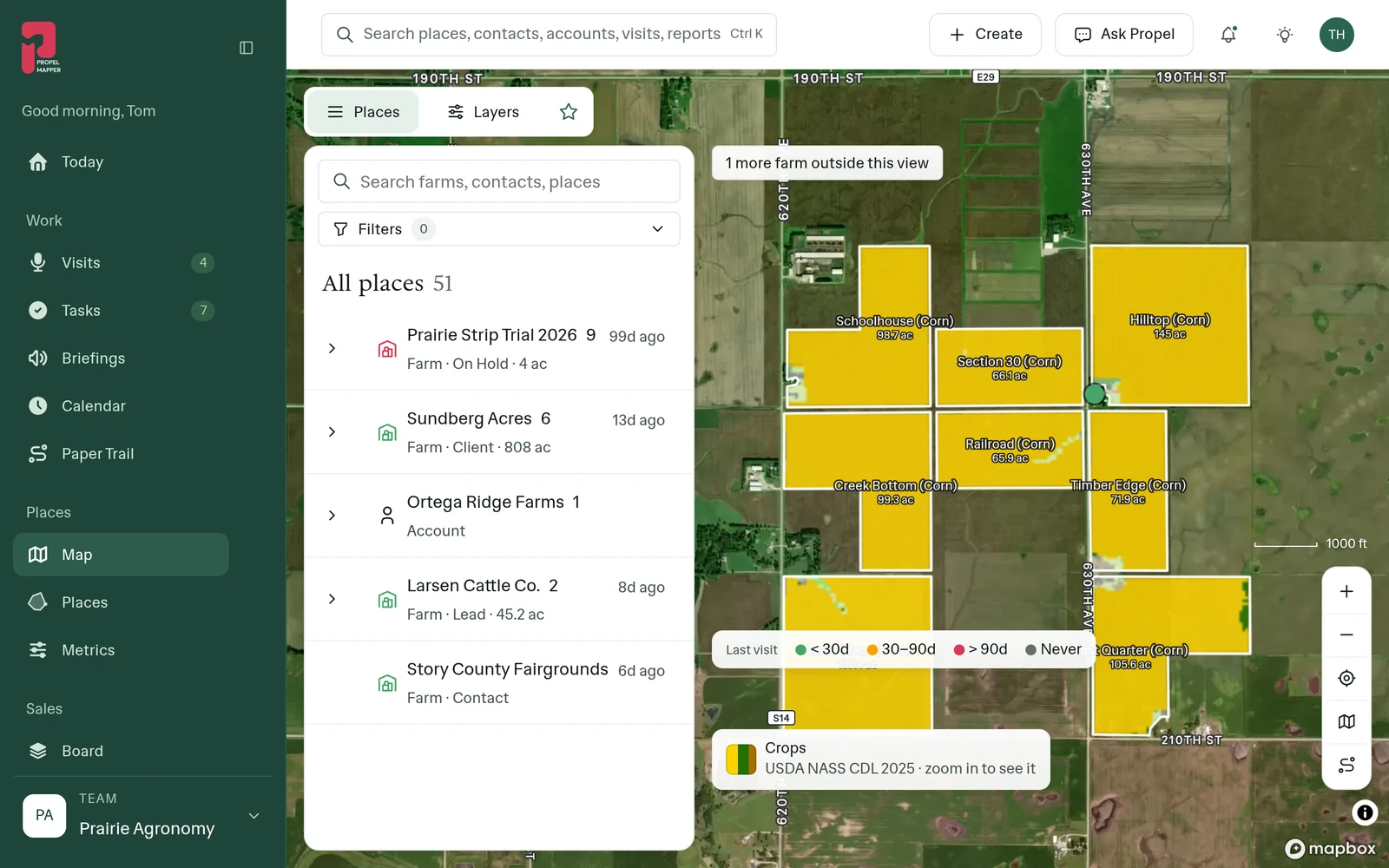
Example account: Prairie Agronomy


2025
© Mapbox · © OpenStreetMap
| Field | 18 | 19 | 20 | 21 | 22 | 23 | 24 | 25 |
|---|---|---|---|---|---|---|---|---|
| East Quarter | corn | corn | corn | corn | corn | corn | corn | corn |
| Hilltop | corn | corn | corn | soybeans | corn | soybeans | corn | corn |
| Timber Edge | corn | corn | corn | corn | corn | corn | corn | corn |
| Section 30 | corn | corn | soybeans | corn | corn | soybeans | corn | corn |
| Schoolhouse | corn | corn | soybeans | corn | corn | soybeans | corn | corn |
| Railroad | corn | corn | soybeans | corn | corn | soybeans | corn | corn |
| Creek Bottom | corn | corn | soybeans | corn | corn | soybeans | corn | corn |
| Home Place | corn | soybeans | corn | soybeans | corn | corn | soybeans | corn |
Formats, sources and availability
- Source
- USDA NASS Cropland Data Layer, through CropScape
- Years
- Rolling eight-year window
- Interpretation
- Classified crop areas; compare with planting records
- Per field
- Top three classes and their shares, rounded to 0.1%
- Coverage
- United States cropland only
Who it’s for
Crop advisors preparing to visit a US field can bring its mapped crop history to the grower. The grower’s planting records and your discussion help explain the rotation in the report.