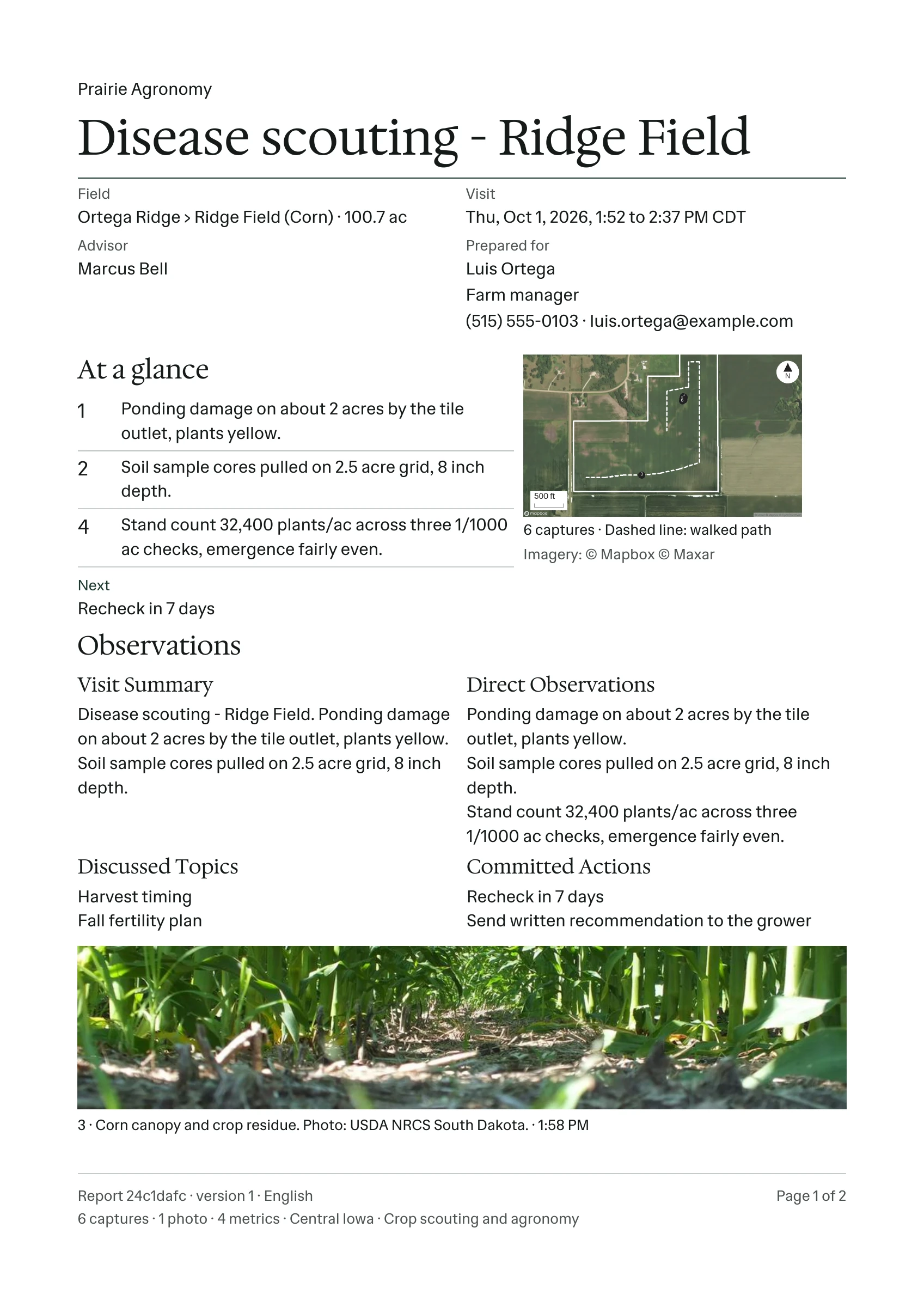
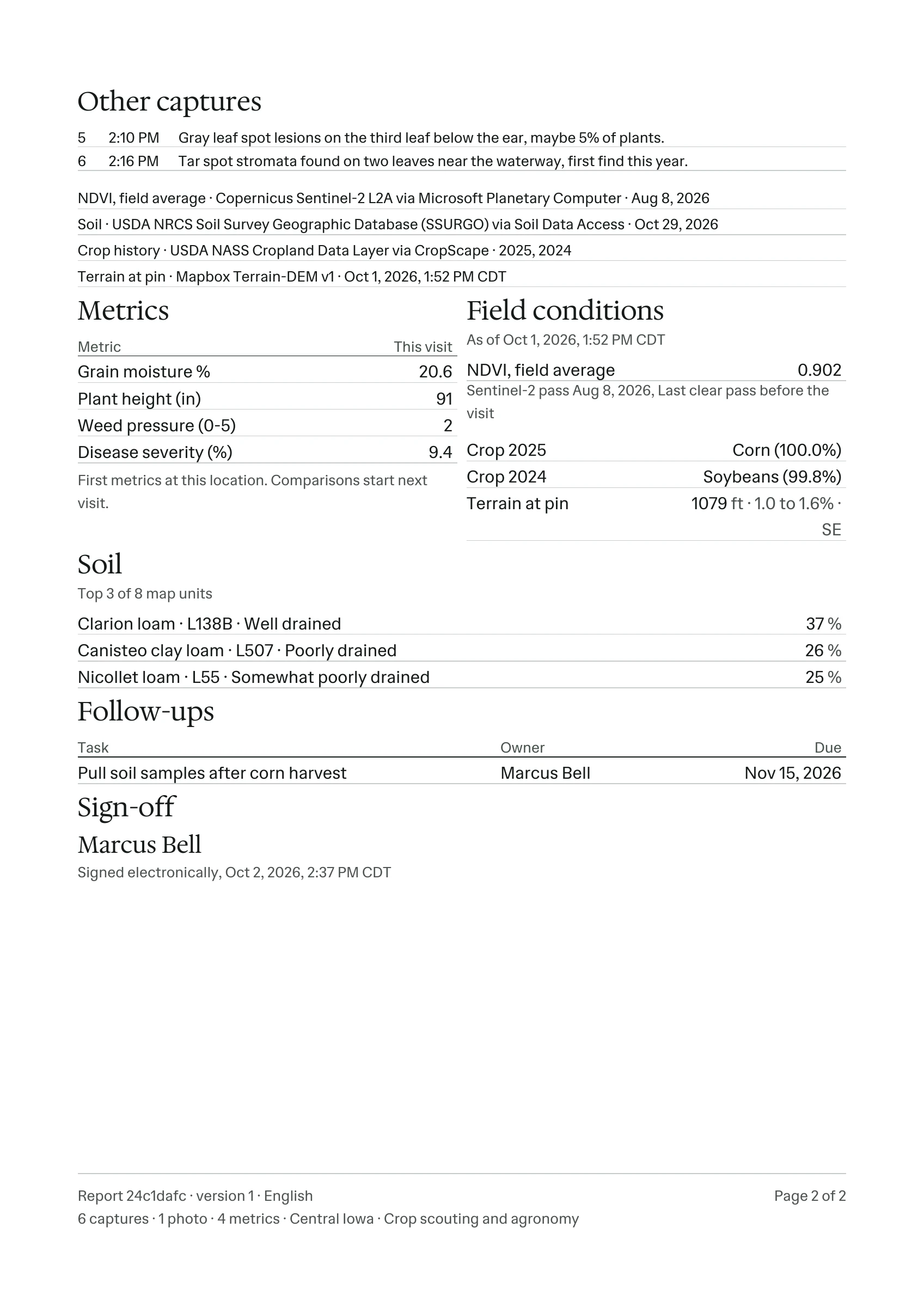
A crop scouting report from PropelMapper: the observations recorded on one Ridge Field visit, with the field map, dated satellite and soil data, and the advisor’s signature.
Visit Sep 21, 2026, 1:52 to 2:37 PM CDTAdvisor Marcus Bell6 captures · 1 photo · 4 readingsVersion 1 · English
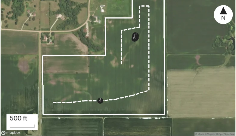
Numbered pins: visit captures · Dashed line: walked path · Basemap: Mapbox satellite. Imagery date not stated.
Field conditions
As of Sep 21, 2026, 1:52 PM CDT
NDVI, field averageSentinel-2 pass Aug 8, 2026. Last clear pass before the visit.
0.902
Crop 2025
Corn (100.0%)
Crop 2024
Soybeans (99.8%)
Terrain at pin
1079 ft · 1.0 to 1.6% · SE
Soil
Top 3 of 8 map units
Clarion loamL138B · Well drained
37%
Canisteo clay loamL507 · Poorly drained
26%
Nicollet loamL55 · Somewhat poorly drained
25%
At a glance
1
Ponding damage on about 2 acres by the tile outlet, plants yellow.
2
Soil sample cores pulled on 2.5 acre grid, 8 inch depth.
4
Stand count 32,400 plants/ac across three 1/1000 ac checks, emergence fairly even.
Next
Recheck in 7 days
Readings
Readings: Disease scouting - Ridge Field
Reading
This visit
Grain moisture %
20.6
Plant height (in)
91
Weed pressure (0–5)
2
Disease severity (%)
9.4
First readings on this field. Comparisons start next visit.
Follow-ups
Task
Owner
Due
Pull soil samples after corn harvest
Marcus Bell
Nov 5, 2026
Sign-off
Marcus Bell
Signed electronically, Sep 22, 2026, 2:37 PM CDTApproved
Observations
Direct observations
Ponding damage on about 2 acres by the tile outlet, plants yellow. Soil sample cores pulled on 2.5 acre grid, 8 inch depth. Stand count 32,400 plants/ac across three 1/1000 ac checks, emergence fairly even.
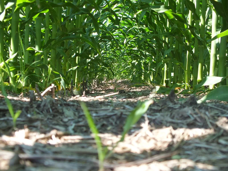
3 · Corn canopy and crop residue. Photo: USDA NRCS South Dakota. · 1:58 PM
Discussed topics
Harvest timing. Fall fertility plan.
Committed actions
Recheck in 7 days. Send written recommendation to the grower.
Other captures
5 · 2:10 PM: Gray leaf spot lesions on the third leaf below the ear, maybe 5% of plants. 6 · 2:16 PM: Tar spot stromata found on two leaves near the waterway, first find this year.
The field findings come first, with numbered references to the recorded observations and the next check.
The saved boundary, walked path and numbered observation pins share the map. The imagery provider appears below it.
Dated NDVI, crop history and terrain provide context for this visit. The NDVI pass date is separate from the visit date.
The leading mapped soil units show their share of the field, drainage class and survey identifiers.
The next check sits directly below the findings, so the grower can find the action before the supporting detail.
Saved measurements appear in a table. This field has no earlier readings to compare, which the report states below the values.
The saved follow-up task includes an owner and a due date.
The advisor’s name, signing date and approval status remain together. The recipient acknowledges receipt separately when the report is sent.
The reviewed At a glance, direct observations, discussed topics and committed actions retain the recorded findings. The crop photograph includes its source.
The source table names each provider and its date, keeping reference layers separate from measurements taken during the visit.